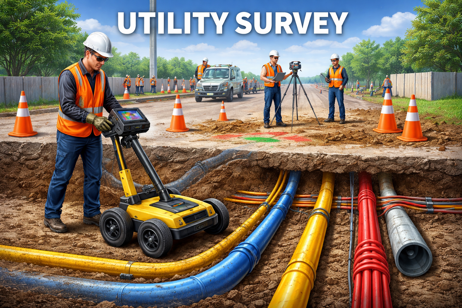
Utility Survey: A Complete Guide to Mapping Underground Services
- Home
- Utility Survey: A Complete Guide to Mapping Underground Services
Utility Survey: A Complete Guide to Mapping Underground Services
What is a Utility Survey?
A utility survey is the process of detecting and mapping underground utilities such as:
- Water pipelines
- Gas lines
- Electrical cables
- Telecommunication networks
- Drainage and sewer systems
The goal is to create an accurate map of subsurface infrastructure, reducing the risk of damage during excavation or construction.
Types of Utility Surveys
1. Underground Utility Survey
Focuses on detecting buried utilities using non-invasive techniques. It is widely used before excavation work.
2. Utility Mapping Survey
Creates detailed maps showing the exact location and depth of utilities for planning and design purposes.
3. Utility Detection Survey
Identifies unknown or undocumented utilities, especially in older urban areas.
4. As-Built Utility Survey
Records the final position of installed utilities after construction for future reference.
Methods Used in Utility Surveys
Modern utility surveys rely on advanced technologies for accuracy and efficiency:
Ground Penetrating Radar (GPR)
Uses electromagnetic waves to detect objects beneath the surface. It is effective for locating non-metallic utilities like plastic pipes.
Electromagnetic Locators (EML)
Used to detect metallic utilities by transmitting electromagnetic signals through them.
Radio Detection
Helps trace underground cables and pipelines over long distances.
GPS and GIS Mapping
Collects and visualizes spatial data, creating accurate digital maps of utilities.
Importance of Utility Surveys
Utility surveys play a vital role in:
- Construction safety – Preventing accidental damage to underground assets
- Cost savings – Avoiding costly repairs and project delays
- Efficient planning – Supporting better design and execution
- Regulatory compliance – Meeting legal and safety requirements
- Risk reduction – Minimizing hazards for workers and the public
Benefits of Utility Surveys
- Accurate detection of underground services
- Reduced risk of accidents and service disruptions
- Improved project efficiency and timelines
- Better decision-making for engineers and planners
- Long-term asset management support
Challenges in Utility Surveys
- Conduct surveys before any excavation work
- Use a combination of detection methods for higher accuracy
- Verify data with existing utility records
- Maintain updated digital maps for future use
- Work with experienced survey professionals
Conclusion
A utility survey is a crucial step in any construction or infrastructure project. Accurately identifying and mapping underground utilities, it helps prevent damage, reduce risks, and ensure smooth project execution.
As technology continues to evolve, utility surveys are becoming more precise and efficient—making them an indispensable part of modern engineering and urban development.