What is a GIS Survey, and Why Does It Matter?

What is a GIS Survey, and Why Does It Matter?

From urban planners routing new metro lines to disaster-relief teams tracking flood zones in real time, Geographic Information Systems (GIS) surveys have quietly become one of the most indispensable tools of the modern world. Yet for many, the term still draws a blank. Let’s change that.

Defining GIS

A Geographic Information System (GIS) is a computer-based framework designed to capture, store, manipulate, analyze, manage, and present spatial or geographic data. At its simplest, it’s a smart map. At its most powerful, it’s an analytical engine that can model complex real-world systems — watersheds, traffic corridors, disease spread, land ownership — as layers of interconnected data.
GIS links what something is to where it is. That linkage — attribute data tied to a geographic location — is what makes GIS fundamentally different from a regular spreadsheet or a printed map.

What is a GIS Survey?

A GIS survey is the systematic process of collecting geospatial data from the field — or from remote sources — and integrating it into a GIS platform for analysis and mapping. Think of it as fieldwork with digital intelligence baked in.
Surveyors and scientists use GPS receivers, drones, satellite imagery, LiDAR sensors, and mobile data-collection apps to record precise coordinates, measurements, and attributes of physical features. That raw data is then imported into GIS software — such as ESRI’s ArcGIS or the open-source QGIS — where it becomes queryable, visualizable, and analytically powerful.
” A GIS survey doesn’t just record the world. It creates a living, queryable model of it — one you can ask questions of, and trust the answers. “

Core Components

Component Description

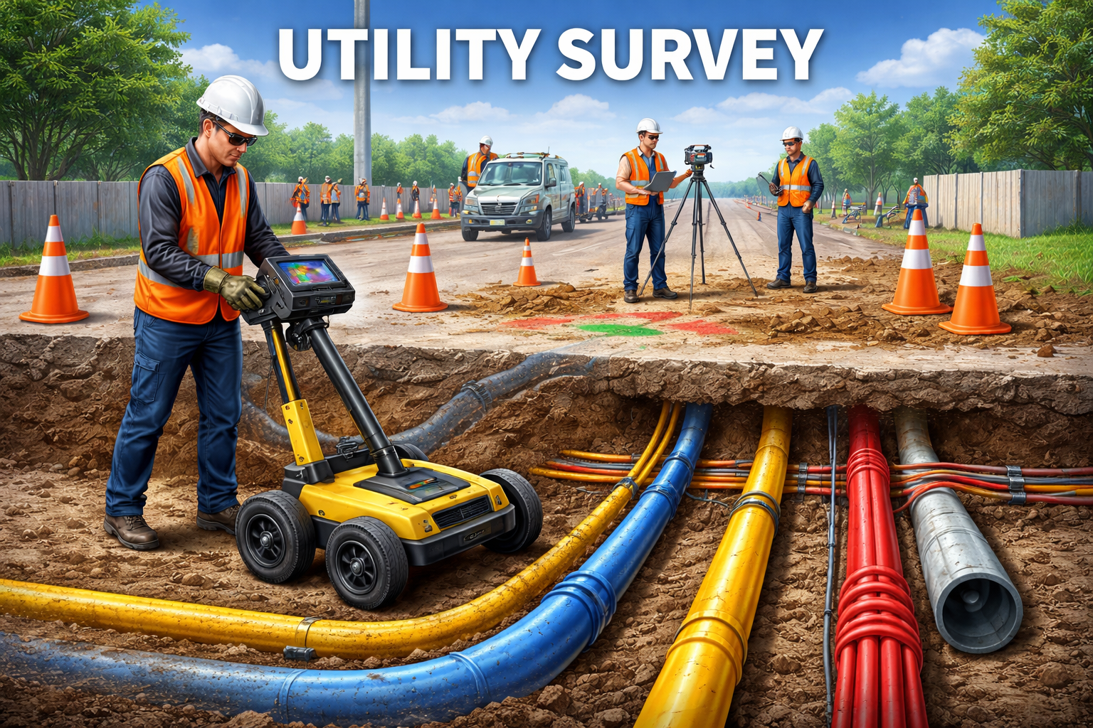
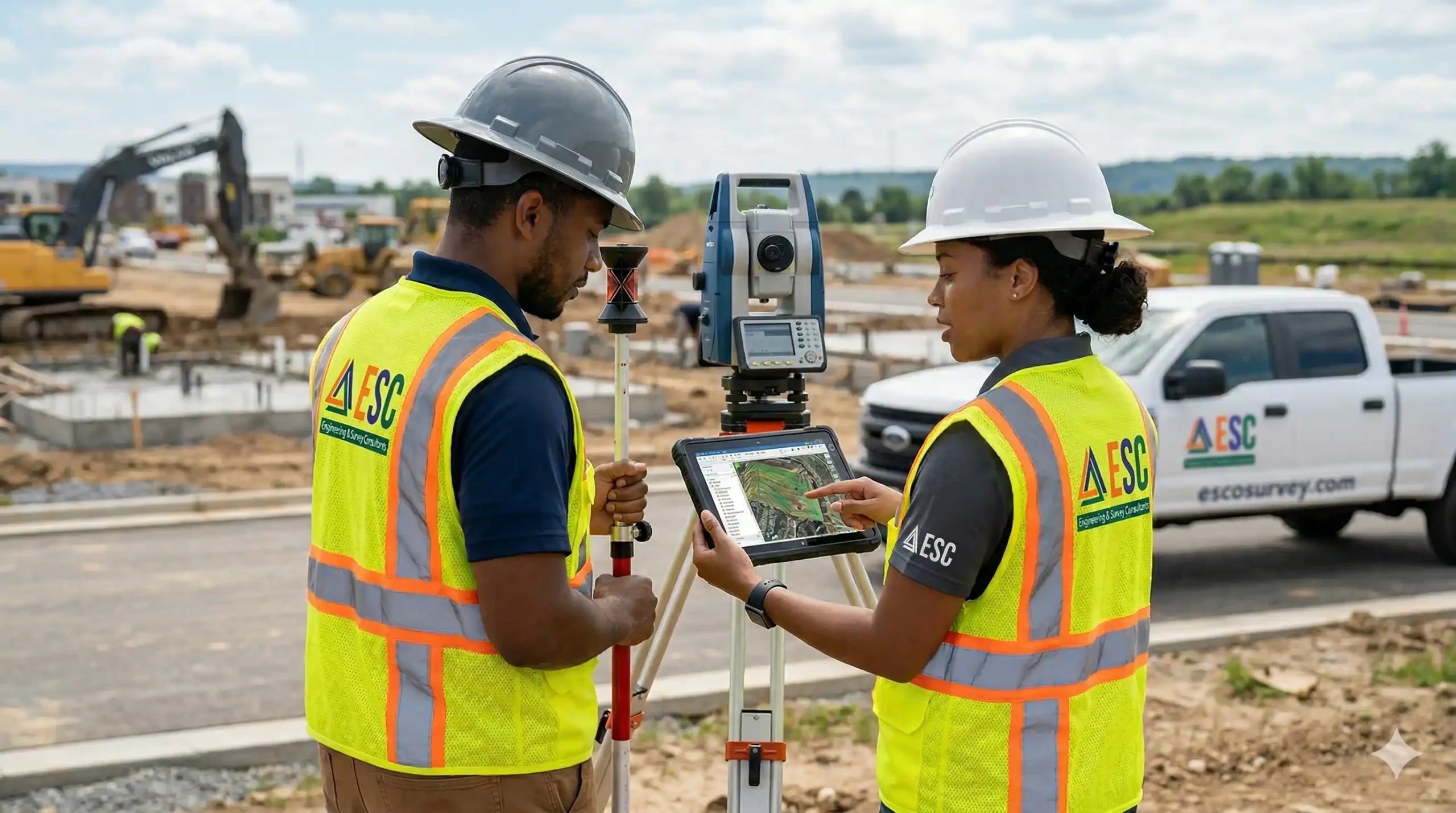
🛰️ Hardware GPS devices, drones (UAVs), total stations, LiDAR scanners, and mobile tablets used for data collection in the field.

💾 Software GIS platforms like ArcGIS, QGIS, MapInfo, and Google Earth Engine that store, analyze, and visualize spatial layers.

📍 Data Vector data (points, lines, polygons) and raster data (satellite images, elevation models) describing real-world features.

👤 People GIS analysts, surveyors, urban planners, and environmental scientists who design, execute, and interpret surveys.

How a GIS Survey Works

Every GIS survey follows a logical sequence from planning to publication:

  1. Define the Objective: Determine what spatial question you need to answer — land use mapping, infrastructure inspection, environmental monitoring, etc.
  2. Select Data Collection Method: Choose field GPS, aerial drone surveys, remote sensing satellites, or digitizing from existing maps based on scale and budget.
  3. Collect Spatial Data: Go into the field (or process satellite feeds) and record georeferenced features — roads, buildings, rivers, soil types, etc.
  4. Process & Clean Data: Import raw coordinates into GIS software, correct errors, assign coordinate reference systems, and attribute each feature.
  5. Analyze & Visualize: Run spatial analyses — overlay, buffer, network analysis — and produce maps, dashboards, or 3D models.
  6. Report & Decide: Share findings with stakeholders, policymakers, or the public to inform decisions and actions.

Types of GIS Surveys

  • Cadastral Surveys: Define property boundaries and land ownership — the backbone of legal land records and real-estate transactions.
  • Topographic Surveys: Capture the shape of the terrain: elevation, slope, aspect, and landform.
  • Environmental Surveys: Track biodiversity, deforestation, coastal erosion, and pollution plumes over time.
  • Infrastructure Surveys: Inventory roads, pipelines, power lines, and utility networks for maintenance and expansion planning.
  • Urban Surveys: Support city planning by mapping zoning, building footprints, population density, and service accessibility.

Why GIS Surveys Matter

We live in a world of compounding spatial problems — climate change, rapid urbanization, resource depletion, disaster risk. GIS surveys are one of the most effective tools we have to understand and respond to these challenges with precision rather than guesswork.
In Bangladesh, for instance, GIS surveys are critical for flood modeling in the delta region, for monitoring the encroachment of urban areas onto agricultural land, and for planning climate-resilient infrastructure in coastal zones. Globally, GIS surveys have guided everything from COVID-19 vaccination routing to reforestation programs in the Amazon.
The result is better decisions, faster responses, and resources deployed where they’re needed most.
” Every road built in the right place, every flood wall positioned correctly, every forest saved — behind each is a survey that said: here, not there.

GIS in the Modern Era

Today’s GIS surveys are increasingly powered by artificial intelligence and machine learning. Algorithms can now classify land cover from satellite imagery in minutes, detect illegal deforestation in near real time, and predict landslide risk from topographic and rainfall data. The integration of IoT sensors means some GIS surveys are now continuous — streams of live data that update maps second by second.
Citizen science platforms like OpenStreetMap allow volunteers worldwide to contribute geographic data, democratizing a field that was once the exclusive domain of governments and large corporations. Mobile GIS apps have put survey-grade data collection in the pocket of every field worker.

Final Thought

A GIS survey is ultimately an act of paying attention carefully, precisely, and systematically to the world as it actually is. It transforms the messy complexity of geography into structured knowledge that humans and machines can reason about. In a century defined by spatial challenges, that’s not a technical nicety. It’s an essential capability.

Whether you’re a student, a government official, a developer, or simply a curious reader, understanding GIS surveys means understanding one of the key lenses through which modern society makes sense of its environment.

Recent Posts

utlity-survey

Utility Survey: A Complete Guide to Mapping Underground Services

March 31, 2026

traffic-survey

Traffic Survey: A Complete Guide to Understanding Road Usage

March 31, 2026

Side Scan Survey: A Complete Guide to Mapping the Seafloor

March 30, 2026

Need Help Right Away?

Call Us Now!

+8801961215160

Email Us Now!

contact@escosurvey.com

Share with your community!